
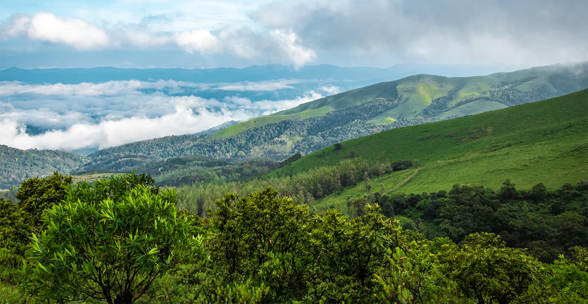
Jeep Ride to Mandalpatti Peak in Coorg: Distances, Route and a Realistic Timeline
Mandalpatti Peak sits about 18–20 km from Madikeri, and the final stretch is a bumpy 4x4 jeep ride that most visitors take from a base point near the forest checkpoint. From Bangalore, expect roughly 260–270 km of highway to Madikeri, then another hour on local roads. Plan about four to five hours for the outing itself, and start early.
How Far Is Mandalpatti From Bangalore, Mysuru and Mangalore?
Mandalpatti has no direct bus or rail link, so every trip starts with getting to Madikeri, the district headquarters. These are approximate road distances:
From |
To Madikeri |
Typical drive time |
Bangalore |
about 260–270 km |
6–7 hours |
Mysuru |
about 120 km |
3–4 hours |
Mangalore |
about 140 km |
3–4 hours |
From Madikeri, the base of the Mandalpatti climb is another 18–20 km, which takes about 45 to 60 minutes on narrow, winding roads. By simple addition, Bangalore to the base point comes to roughly 280 km. That’s my estimate, so check it on a live map before you set out.
Getting here without a car. Coorg has no railway station of its own, and Mysuru is the usual gateway. From there you can hire a taxi or take a bus to Madikeri. Plan your last leg carefully, since public transport doesn’t go to Mandalpatti itself.
Most visitors take the Abbey Falls road out of Madikeri, turn off toward Mandalpatti, and follow a road that gradually changes from tarmac to patchy surface to loose rock. Signboards can be unclear, so confirm the turn with a local or your navigation app.
A second approach goes via Makkandur and is longer, at around 35 km from Madikeri. Travelers describe it as quieter and somewhat more scenic, and some combine the two, going up one way and returning the other. It adds time, though, so only choose it if you have a relaxed schedule.
Fill your tank in Madikeri. Fuel stations are scarce once you leave town, and mobile signal is patchy on the higher sections.
How Long Is the Jeep Stretched?
You’ll see different numbers online, and they all have an explanation. Some sources call the final jeep section 6–7 km. Others say vehicles can drive almost to the forest checkpoint and the truly rough part is shorter. Traveler reviews describe the ride as roughly 30 to 45 minutes and the worst of the bumps as the last few kilometres.
The honest summary is that the distance depends on where the jeep picks you up and which track the driver uses. What matters more is the experience: it’s slow, rocky, and demanding, and a short distance takes a long time.
Jeep Ride or Mandalpatti Trekking?
Both work, and they suit different people.
The jeep suits anyone short on time, travelling with children or older relatives, or mostly interested in the scenic views and the thrill of an off-road adventure.
Mandalpatti trekking covers the final climb on foot, about 3 km one way, and fit walkers usually take one to one and a half hours going up and a bit less coming down. It’s a quieter way to approach the ridge, through forest edge and open grass, but you’ll need sturdy shoes and an early start.
You can also mix them: ride up for the thrill and walk part of the way down, if the driver and the weather allow.
A Realistic Timeline for the Day
Many online plans make this outing look shorter than it is. Allow for:
- Drive from Madikeri to the base: 45–60 minutes
- Waiting and boarding the jeep: 10–20 minutes, more on weekends
- Jeep climb: 30–45 minutes
- Time at the top: 30–60 minutes
- Descent and return to Madikeri: about the same as the way up
That adds up to four to five hours, roughly. For a sunrise visit, aim to be on the ridge by about 6:30 AM, which usually means leaving your stay in the dark. Sunrise time shifts through the year, so check the exact time the evening before.
Where to Board the Jeep and What to Agree
Visitors typically find jeeps at the Madikeri jeep stand, near the Abbey Falls junction, or at the base point where the road ends. A few questions settle most problems before they start:
- Is the return trip included?
- How long will the driver wait at the top?
- Will the same driver take you the whole way?
- Will you be asked for a forest entry fee along the route, and will you get a receipt?
- Is the jeep shared or private?
Carry some cash, since card and digital payments are often unavailable at the base.
Best Time to Go
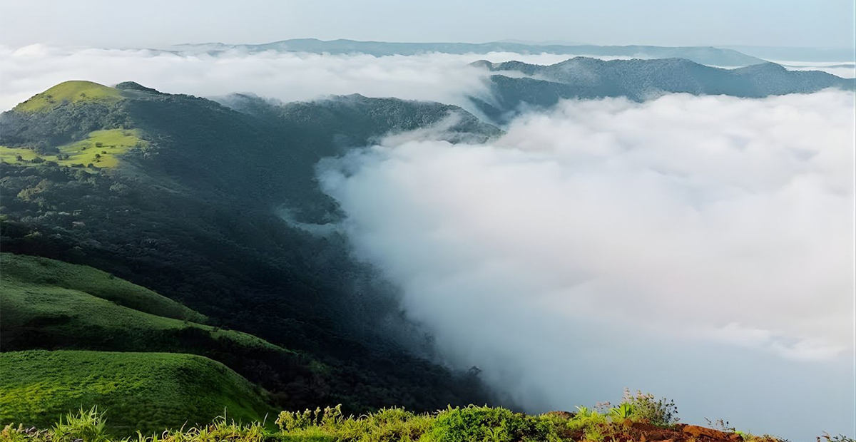
Early morning gives the best chance of mist in the valleys and soft light for photographs. Midday is usually hazy and hot, and the views are flatter. Late afternoon can also be rewarding, but plan your descent so you’re off the track before dark.
On season, post-monsoon and winter months generally bring clearer skies. The monsoon can be dramatic but slippery, and entry to Mandalpatti has been restricted in the past after landslides, so check conditions on the day rather than relying on dates.
Scenic Views and Wildlife Spotting
At the top, the ridge opens into grass and rock, with forested hills and plantation land stretching in every direction. On still mornings, cloud can fill the valleys below you.
The area falls within the Pushpagiri forest landscape, so wildlife spotting is a matter of patience. Expect birds, butterflies, and signs of animal life rather than big sightings. Keep your voice low, never feed animals, and carry every wrapper back down.
If you enjoy learning what you’re looking at, guided forest walks and dawn bird watching on a Coorg estate are a good way to build that skill before or after the ride.
What to Carry
- At least two litres of water per person
- Closed shoes with good grip
- A windproof layer for the open jeep
- A rain jacket in wetter months
- Sunscreen and sunglasses
- Snacks, because no food is reported at the top
- Cash in small notes
Safety on the Mandalpatti Track
- Hold on, and secure your phone and camera. The ride is rougher than it looks.
- Stay back from edges. There are no railings at the viewpoint.
- Turn back in poor weather. Fog, lightning, and strong wind on an exposed ridge are not worth risking.
- Tell someone your plan before leaving Madikeri.
- Take medication beforehand if you get motion sick.
- Consider a local guide for a first visit. They know the boarding points, the drivers, and current track conditions.
Plan the Day Around Your Stay
The simplest way to make an early start less painful is to sleep nearby. Indo Asia Heritage is a coffee estate resort in Galibeedu, on the Madikeri side of the Mandalpatti approach, which keeps the pre-dawn transfer short.
After a bumpy morning, there’s nothing wrong with doing very little. A quiet cottage among the coffee plants makes a good afternoon in a longer hill station tour, with the adventure out of the way early and the rest of the day left to rest.
Frequently Asked Questions
How far is Mandalpatti Peak from Bangalore?
Roughly 280 km to the base point: about 260–270 km to Madikeri, then another 18–20 km. Allow around seven hours of driving. Check live maps for your exact route.
How far is the jeep ride to Mandalpatti Peak?
The rough stretch is reported as anywhere from a few kilometres to around 6–7 km, depending on the starting point. Plan on 30–45 minutes each way.
How long does the whole Mandalpatti trip take?
Plan four to five hours from Madikeri, including the drive, the jeep ride, time at the viewpoint, and the return.
Can I trek instead of taking the jeep?
Yes. The trek is about 3 km one way from the base point, and takes roughly one to one and a half hours for fit walkers.
Which is the nearest railway station?
Coorg has no railway station of its own, and Mysuru is the usual gateway. Continue by road from there.
If you’d like the stay organized around an early-morning ride, the Western Ghats Wander package is a good place to start.